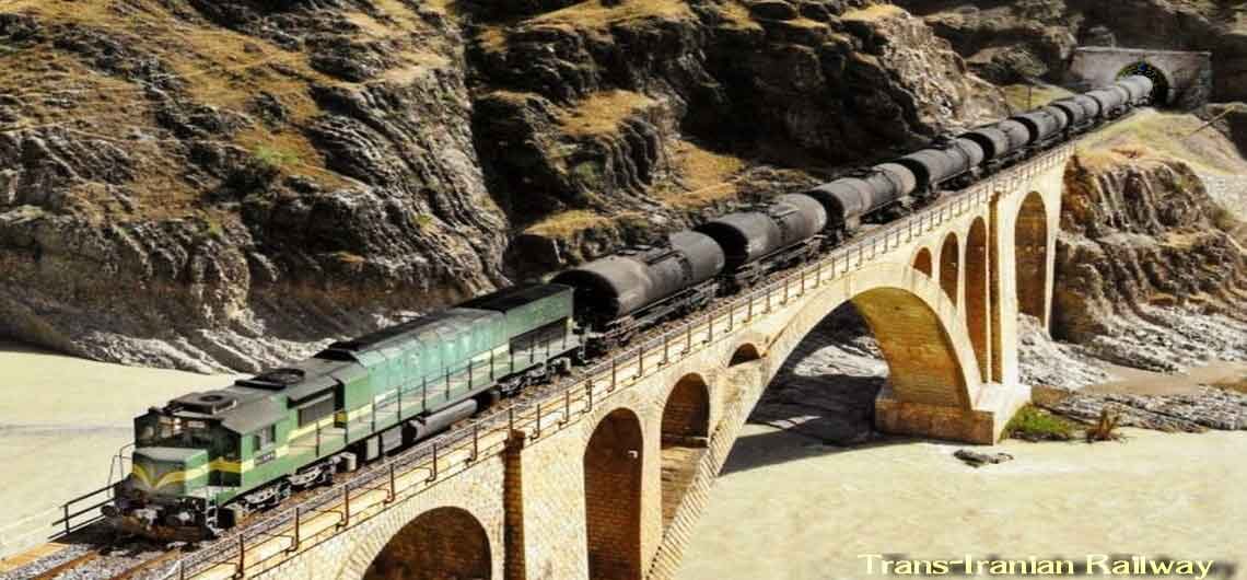
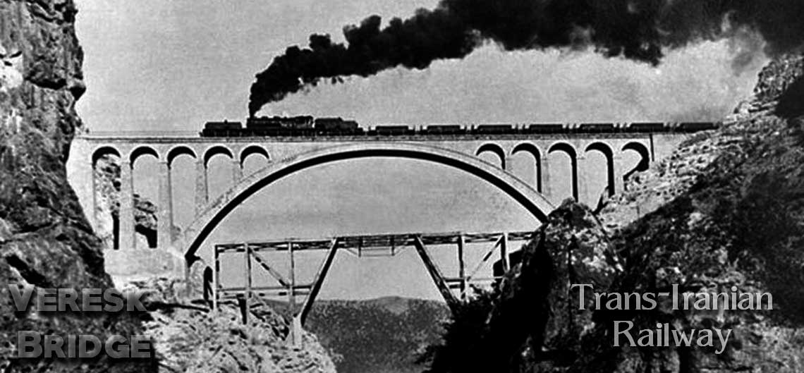
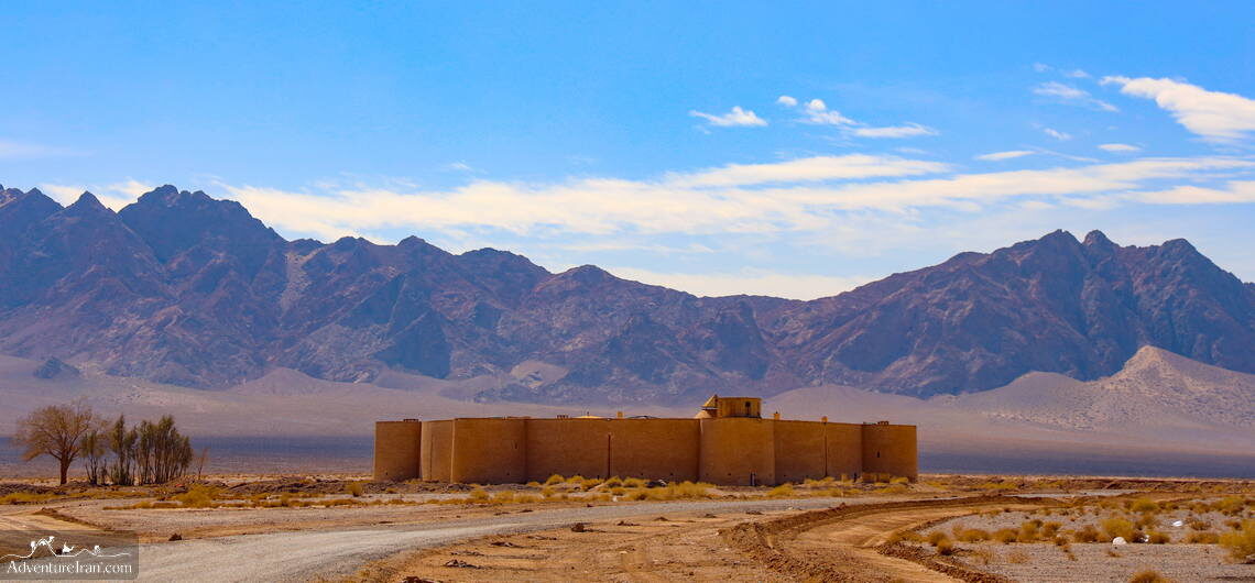
Iran Caravanserais Iran Caravanserais (UNESCO) were built during the Safavid dynasty on the Silk Road route of Persia. These were essential to service the needs of the influx of traders and travelers passing through. At that time, the country was massive and called Persia. During that dynasty, Iran had a main role in the Silk Road route from China to East Europe. The foremost purpose of a caravanserai on the ancient Silk Road was for accommodation and as a gathering place for caravans and travelers. A “Caravanserai” is basically a roadside dwelling similar to an “inn”, built to shelter men, camels, animals such as goats, goods, and other possessions of the caravans. This is how society during that period understood the usage of the caravanserai. Caravanserai was particularly valuable as a link to other trade routes along the former Silk Road. In addition, there was also a large network of caravanserais built along the whole trade path in the Middle East and Central Asia. Throughout the history of the various Muslim kingdoms in India, Asia, North Africa, and South-Eastern Europe, this network, most notably along the Silk Road, was vital to support the flow of information, commerce, pilgrims, and travelers from the 9th until the 19th centuries. The word caravanserai is a Westernized form of the Persian word, which merges “caravan” with “sarayi” or “serai”. This means a palace, a dwelling, or enclosed courts. It is also known as caravansary. “Caravan” has a similar meaning in English, which refers to a troop of soldiers, merchants, pilgrims, or other travelers participating in a long-distance journey. Although caravanserais were constructed in a vast geographical region covering Central Asia, Asia, India, Middle East, North Africa, and South-Eastern Europe, a substantial number of them were also located in the Middle East, Central
Iran Caravanserais Iran Caravanserais (UNESCO) were built during the Safavid dynasty on the Silk Road route of Persia. These were essential to service the needs of the influx of traders and travelers passing through. At that time, the country was massive and called Persia. During that dynasty, Iran had a main role in the