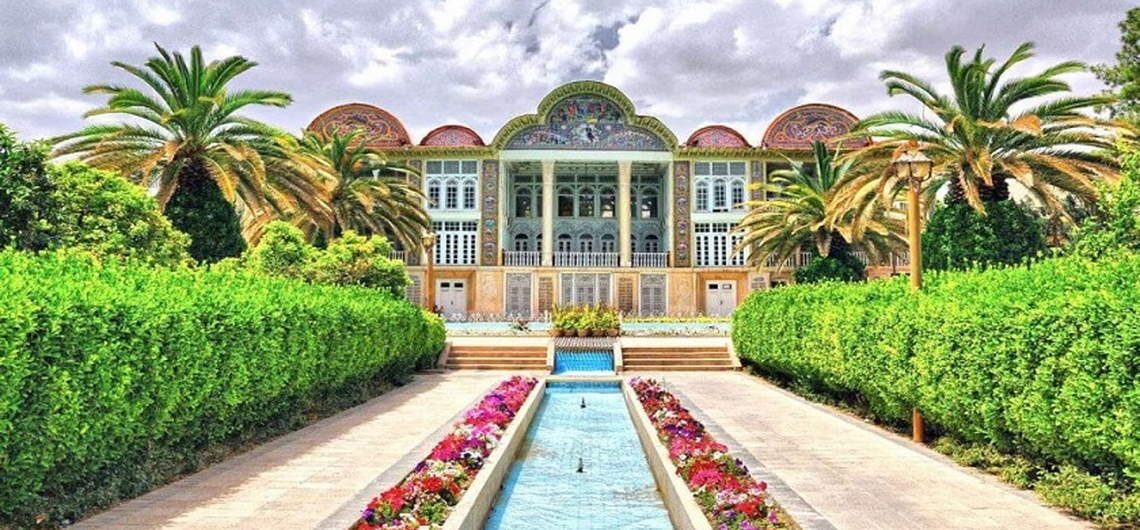
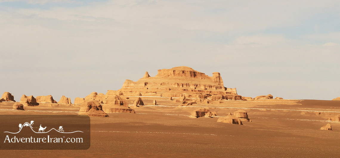
Travel to Iranian Kurdistan Kurdistan Introduction Iranian Kurdistan with 21137 sq./m is located in the west of Iran with a joint border with Iraq. It’s one of the destinations of Iran that offers you a lot of Off the Beaten track for those who are looking for new experiences. Depending on your travel style and the type of activity you would like to do, you could travel to Iranian Kurdistan from one week up to one month. Most Iran visitors who already visited the Main tourist destinations of Iran travel to Kurdistan as a cultural tour. They only visit a couple of spots mentioned in the guidebooks. Also, most of the tours designed to visit Kurdistan are two to three-week tours of northwestern and western Iran, which spend only one or more days in this province and actually pass through this province and cannot explore the attractions of this region and understand the intangible highlights of this exotic destinations. Kurdistan has a long list of attractions for travelers and in this article, we try to mention the main important highlights of the province. Kurdish Region locations The Kurdish region of Iran is a geographical area in northwestern Iran that has been historically and is presently inhabited by a predominantly Kurdish population. This region includes parts of three Iranian provinces; the Kordestan Province, the Kermanshah Province, and the West Azerbaijan Province. These three Iranian provinces share borders with parts of Iraq and Turkey that are also inhabited by the Kurds. West Azerbaijan Province Kurdistan Province Kermanshah Province Kurdish People The Kurdish people have inhabited the northwestern region of Iran for centuries – dating back before the Islamic conquests of the 7th century. It is believed that the Kurdish language was derived from Persian dialects in the
Travel to Iranian Kurdistan Kurdistan Introduction Iranian Kurdistan with 21137 sq./m is located in the west of Iran with a joint border with Iraq. It’s one of the destinations of Iran that offers you a lot of Off the Beaten track for those who are looking for new experiences. Depending on your travel style
Tehran Metro Guide Map The Tehran Metro is a fastest transportation system in Tehran, the capital of Iran. It is the largest metro system in the Middle East. It consists of six operational metro lines (and an additional commuter rail line), with construction under way on four lines including northwestern extension of line 4, south extension line 6, north and east extension line 7 and Line 10. The Tehran Metro carries more than 3 million passengers a day. In 2018, 820 million trips were made on Tehran Metro. As of 2020, the total system was 253.7 kilometers (157.6 mi) long, 186 kilometers (116 mi) of which is metro-grade rail. It is planned to have a length of 430 kilometers (270 mi) with eleven lines once all construction is complete by 2040. On all days of the week, the Metro service runs from 04:30 to 22:00. The line uses standard gauge and is mostly underground. Ticket price is 3,500 Iranian Toman for each journey (about US$0.05), regardless of the distance traveled, but using prepaid tickets costs much less. On all Tehran metro trains the first and half of the second carriages from each end are reserved for women. Women can still ride other cars. For good quality PDF file of the map please click Tehran Metro Map.
Tehran Metro Guide Map The Tehran Metro is a fastest transportation system in Tehran, the capital of Iran. It is the largest metro system in the Middle East. It consists of six operational metro lines (and an additional commuter rail line), with construction under way on four lines including northwestern extension of line 4,
Iran Deserts Iran DesertsThe deserts in Iran are probably its main attraction. These deserts are vast and spectacular covering 25% of the entire country. The two main ones are Dasht-e Kavir and Dasht-e Lut, both being gigantic. Dasht-e Kavir, also called Kavir Desert, Iran Central Desert, or in Persian Kavir Markazi-e Iran is situated to the south of the Alborz Mountains approximately in the center of Iran. Lut Desert also called Dasht-e Lut, Kavir-e Lut or Dasht-e Lut Desert is situated in the south-east of Iran. It is also one of the two UNESCO natural sites of Iran that were registered in 2016. You might have visited deserts in other parts of the world but, by comparison, Iran’s deserts are a combination of them all in terms of natural attractions. They are made up of sand dunes, flat desert areas, salt lakes, dry lakes, wetlands, rock formations, canyons, rivers, various mines, birds, animals, flora, caves, high mountains and diverse coloured soils surrounded by villages. It’s possible to find a cluster of oases with agricultural areas in the middle of nowhere where you never thought there could be water. People still follow their customary way of life and live in their traditional houses. There are numerous citadels in these deserts dating back to over one thousand years. There is also an abundance of historical villages with special desert lands and Persian architecture built several hundred years ago. There are countless ancient Qanat “underground water channel systems” in many of Iran’s deserts dating back thousands of years. The Persian Qanat was registered in 2016 in the UNESCO heritage sites of Iran, which is one of Iran's historical phenomena. Persian cuisine is another attraction of our deserts, as you can find a wide variety of Iranian food on every corner. As you may
Iran Deserts Iran DesertsThe deserts in Iran are probably its main attraction. These deserts are vast and spectacular covering 25% of the entire country. The two main ones are Dasht-e Kavir and Dasht-e Lut, both being gigantic. Dasht-e Kavir, also called Kavir Desert, Iran Central Desert, or in Persian Kavir Markazi-e Iran is situated to