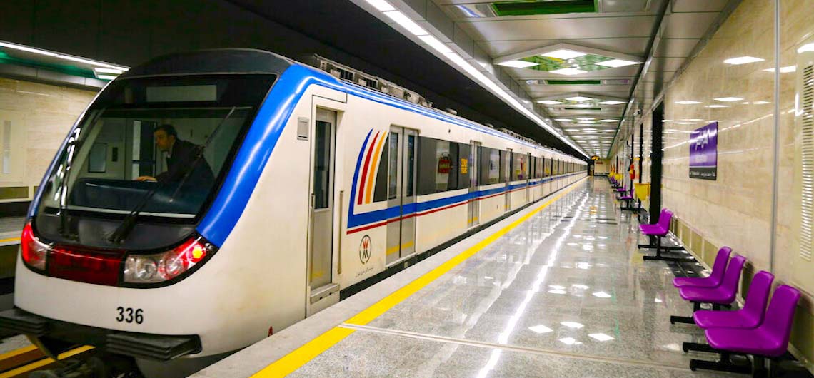
Tehran Metro Guide Map The Tehran Metro is a fastest transportation system in Tehran, the capital of Iran. It is the largest metro system in the Middle East. It consists of six operational metro lines (and an additional commuter rail line), with construction under way on four lines including northwestern extension of line 4, south extension line 6, north and east extension line 7 and Line 10. The Tehran Metro carries more than 3 million passengers a day. In 2018, 820 million trips were made on Tehran Metro. As of 2020, the total system was 253.7 kilometers (157.6 mi) long, 186 kilometers (116 mi) of which is metro-grade rail. It is planned to have a length of 430 kilometers (270 mi) with eleven lines once all construction is complete by 2040. On all days of the week, the Metro service runs from 04:30 to 22:00. The line uses standard gauge and is mostly underground. Ticket price is 3,500 Iranian Toman for each journey (about US$0.05), regardless of the distance traveled, but using prepaid tickets costs much less. On all Tehran metro trains the first and half of the second carriages from each end are reserved for women. Women can still ride other cars. For good quality PDF file of the map please click Tehran Metro Map.
Tehran Metro Guide Map The Tehran Metro is a fastest transportation system in Tehran, the capital of Iran. It is the largest metro system in the Middle East. It consists of six operational metro lines (and an additional commuter rail line), with construction under way on four lines including northwestern extension of line 4,

