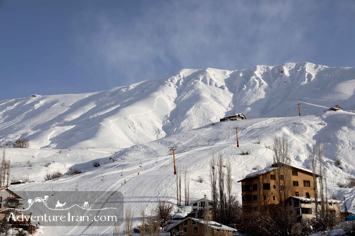
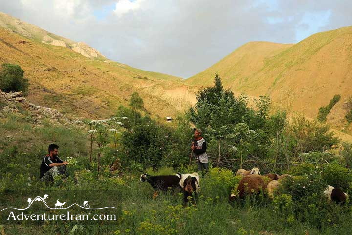
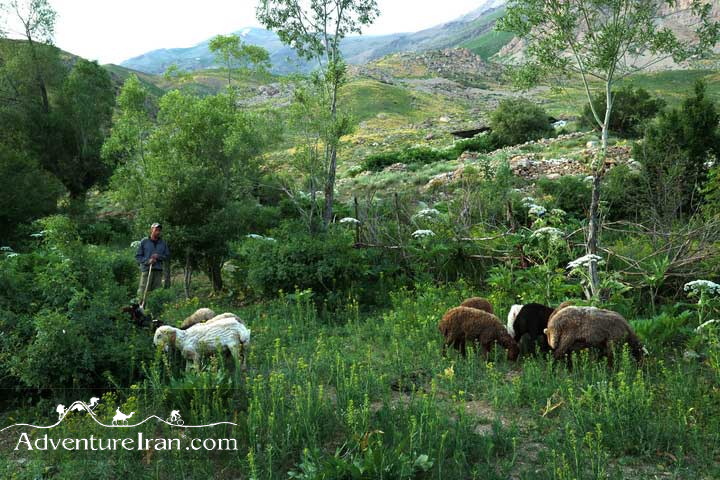
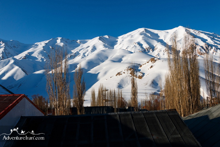
Despite the general dry trend for a sizable part of the country, for the rest the climate is surprisingly varied. In the northwest, winters are cold with heavy snowfall and subfreezing temperatures during December and January. Spring and fall are relatively mild, while summers are dry and hot. In the south, winters are mild and the summers are very hot, having average daily temperatures in July exceeding 38° C (100° F). On the Khuzestan plain, summer heat is accompanied by high humidity.
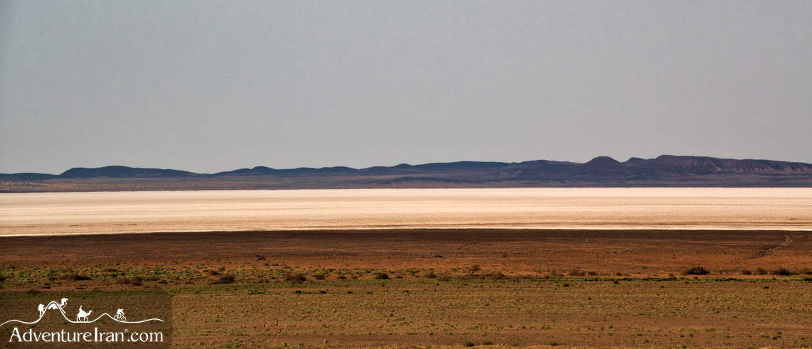
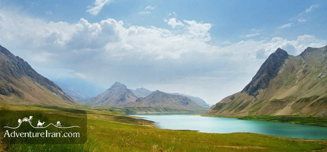
Most of the annual precipitation falls from October through April. In most of the country, yearly precipitation averages 25 centimeters or less. The major exceptions are the higher mountain valleys of the Zagros and the Caspian coastal plain, where precipitation averages at least 50 centimeters annually. In the western part of the Caspian, rainfall exceeds 100 centimeters annually and is distributed relatively evenly throughout the year. This contrasts with some basins of the Central Plateau that receive ten centimeters or less of precipitation annually.


Iran Weather and Climate
Best Time to Visit Iran?
Best Traveling Time for Different Activity?