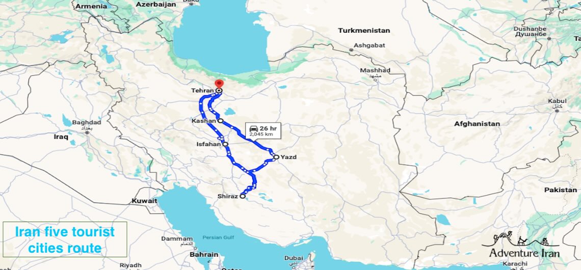
The distances between Iran's tourist cities and travel time The distances between the tourist cities of Iran are very important to know when travellers are making plans to visit the country. As Iran is a vast land with a lot of tourist destinations, it’s vital to have a good idea about travel distances and the time it takes to go from one remarkable destination to another. These days, nearly everyone has a smartphone with many applications as well as a Google app. You can check travelling time for any destination. But with this useful article, you could save time and have an overall idea about the time you have to spend on the road during your travel in Iran. In this post we provide all the distances between Iran’s most famous tourist cities, which are located on the famous Classic Iran Route. These main tourist destinations are Tehran capital, Kashan, Isfahan, Yazd and Shiraz. In addition, you can also find the distances between the airports in those cities to the city centre. These distances could help you to have the Best Iran Tour in order to save time and have an efficient travel itinerary. Find the distances between all tourist cities of Iran on Google Maps below: Note and Advice: Please bear in mind that the travelling time and the distances we mentioned in this article are based on the downtown location of each city. Your travel time might be longer if you travel during the rush hour of the day or night. You have to consider the traffic depending on the place where you are staying. This is crucial for reaching the airport in time if you have a domestic or international flight. Additional time must be added so as not to miss your flight. Another important note is
The distances between Iran’s tourist cities and travel time The distances between the tourist cities of Iran are very important to know when travellers are making plans to visit the country. As Iran is a vast land with a lot of tourist destinations, it’s vital to have a good idea about travel distances and the

